LandViewer logo
Rank #505
EARTH OBSERVATION SOLUTIONS FREEMIUM CLOUD #1 in Earth Observation Solutions State of the Art

LandViewer Review — Satellite Imagery Analysis

Access and analyze satellite imagery quickly for environmental, agriculture, and land management needs.

2 monthly visitors 2 page views (30d)
Reviewed by Volvenix Editorial
7.5
Volvenix Verdict
AI-powered editorial review
LandViewer
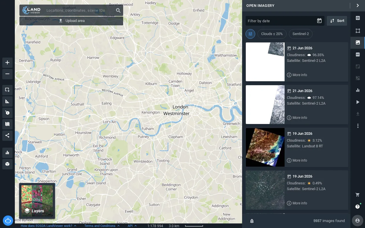
A user-friendly platform for quick satellite imagery analysis without complex GIS knowledge.
PROS
  • Extensive satellite imagery catalog
  • User-friendly interface for non-GIS experts
  • Fast visualization and analysis
  • Suitable for environmental and agricultural use
CONS
  • Limited advanced GIS analytical tools
  • Lacks deep integration options

Is LandViewer Right for You?

A quick checklist to help you decide.

You need fast access to satellite imagery for environmental or agricultural monitoring.
You need advanced GIS analytics and custom spatial data processing.
You want a simple interface without requiring advanced GIS knowledge.
Free-tier limits are a blocker for your large-scale or commercial projects.
Your team requires quick visualization and basic analysis of geospatial data.
You require deep integrations with enterprise GIS or data platforms.

Ideal for: Researchers, analysts, and environmental professionals who need fast satellite imagery visualization without deep GIS skills.

Less suited for: Users requiring advanced GIS analytics, extensive integrations, or enterprise-grade customization should consider other tools.

Bottom line: Ease of use combined with quick access to a wide range of satellite imagery.

Editorial Review AI-generated
LandViewer excels in providing easy access to a broad catalog of satellite imagery, making it ideal for users without advanced GIS expertise. Its intuitive interface allows quick visualization and analysis, which is a significant strength for environmental and agricultural applications. However, it lacks advanced customization and integration options that power users might seek. Overall, it suits professionals needing straightforward earth observation tools rather than complex GIS platforms.
Pros & Cons

Pros

Extensive satellite imagery catalog
User-friendly interface for non-experts
Fast and responsive platform
Good for environmental and agricultural monitoring
Accessible freemium pricing model

Cons

Limited advanced GIS analytical tools moderate
No public API available moderate
Lacks mobile app support minor
Who Is It For & What Can It Do
Best For
Beginner curve
AI Capabilities
Image analysis
Key Features
Satellite Imagery Access
Provides access to multiple satellite data sources
Image Visualization
Interactive tools for viewing and analyzing images
Basic Analysis Tools
Includes vegetation indices and change detection
Advanced analytics
Enhanced tools available in paid plans
Collaboration Features
Team sharing and project management
Best Use Cases
Environmental monitoring Agricultural land management Deforestation tracking Urban development analysis Disaster impact assessment
Available Platforms
Inputs & Outputs
Imageinput Imageoutput
Supported Languages
English
Security & Compliance
Certifications
SOC 2 Type II
AICPA
ISO 27001
ISO
GDPR
European Union
Compliance Standards
GDPR
Privacy · EU
API & Developer Tools
Pricing Plans

Free

Best for individuals

Free
 
  • Access to basic satellite imagery
  • Limited analysis tools

Team

For small teams

$30/mo
$30.00/mo billed annually
  • Collaborative features
  • Priority support

Offers a free plan with basic features and paid subscriptions for enhanced access and capabilities.

Price Range
Free $0–$0 Low Cost $0–$20 Mid Range $20–$100
Support Channels
Documentation
Did you find this page helpful?
Frequently Asked Questions
What is this tool?
LandViewer is a platform for quick visualization and analysis of satellite imagery for environmental and land monitoring.
How much does it cost?
LandViewer offers a free plan with basic features and paid subscriptions starting at $20 per month.
Does it have a free plan?
Yes, LandViewer provides a free plan with access to basic satellite imagery and analysis tools.
What integrations does it support?
LandViewer does not currently offer public integrations or APIs.
Who is it best for?
It is best suited for researchers and professionals needing fast satellite imagery access without advanced GIS skills.
User Reviews

No reviews yet. Be the first to review LandViewer!

Write a Review
Discussion
No discussions yet. Start the conversation!
0 tools selected
Compare Now →
LandViewer Visit Tool