 Volvenix
Planet Labs Review — Satellite Image Analysis
Planet Labs provides daily satellite imagery and analytics for global monitoring and decision-making.
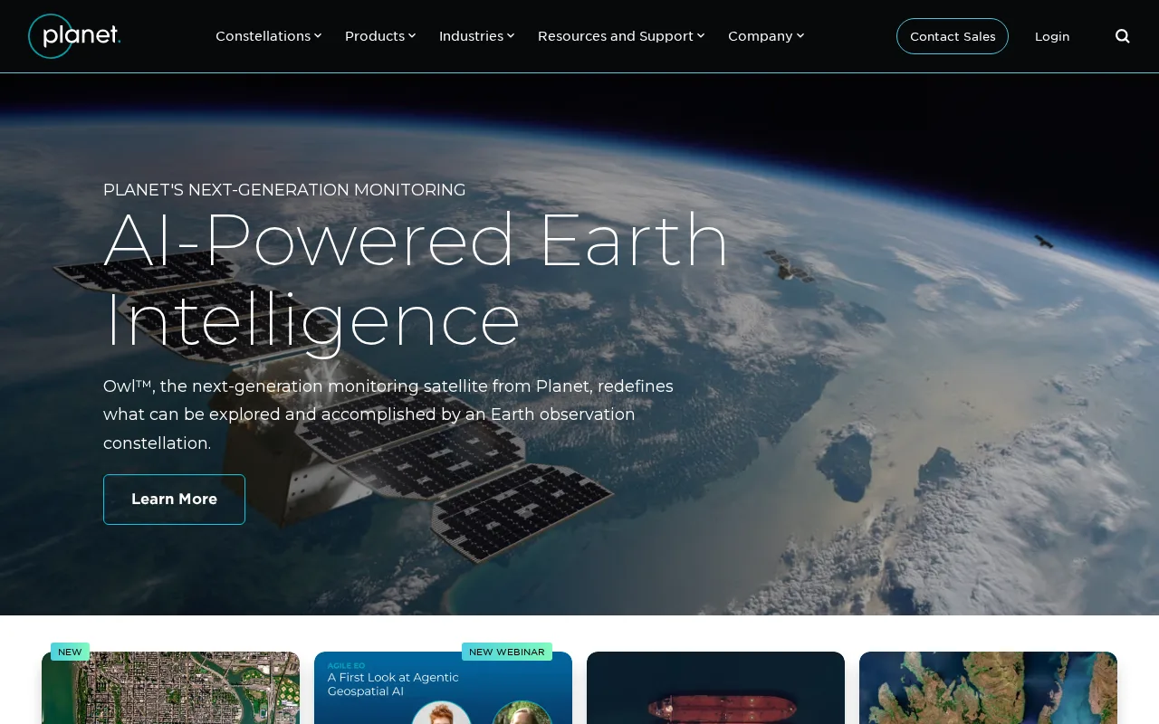
Planet Labs excels in frequent, accessible satellite imagery for diverse geospatial applications.
- High-frequency daily satellite imagery
- Global coverage with high resolution
- Scalable data access for enterprises
- Pricing details are not fully transparent
- Platform complexity for new users
Is Planet Labs Right for You?
A quick checklist to help you decide.
Ideal for: Organizations needing frequent, high-resolution satellite imagery for environmental, agricultural, or infrastructure monitoring.
Less suited for: Casual users or small teams with limited budgets who need simple, low-cost imagery solutions.
Bottom line: Frequency and accessibility of daily satellite imagery for timely geospatial insights.
Pros
Cons
Free
Best for individuals
- Limited satellite imagery access
- Basic analytics tools
Offers a free tier with limited access; paid plans provide expanded data and features, pricing varies by usage and subscription.




What is this tool?
How much does it cost?
Does it have a free plan?
What integrations does it support?
Who is it best for?
No reviews yet. Be the first to review Planet Labs!
Scores are calculated algorithmically from feature coverage, pricing, user feedback & benchmark data — not influenced by commercial relationships. How we score → · Vendor Data Policy