 Volvenix
Hivemapper Review — Crowdsourced 3D Mapping
Crowdsourced mapping platform providing real-time 3D maps for smart city and infrastructure planning.
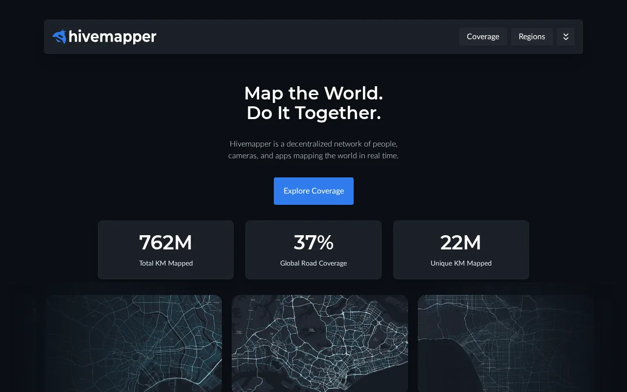
A practical crowdsourced mapping tool ideal for infrastructure monitoring but limited in API and integrations.
- Crowdsourced real-time 3D mapping
- Freemium pricing with scalable paid plans
- Useful for smart city and infrastructure use cases
- No public API for integrations
- Limited third-party SaaS integrations
Is Hivemapper Right for You?
A quick checklist to help you decide.
Ideal for: Urban planners, government agencies, and infrastructure teams needing scalable, real-time 3D mapping from crowdsourced data.
Less suited for: Users requiring extensive API access, broad SaaS integrations, or advanced analytics beyond mapping visualization.
Bottom line: The ability to crowdsource and continuously update 3D maps from dashcam footage.
Pros
Cons
Free
Best for individuals
- Basic map creation
- Access to community maps
Offers a free tier with basic mapping features and paid subscription plans for higher usage and advanced capabilities.
What is this tool?
How much does it cost?
Does it have a free plan?
What integrations does it support?
Who is it best for?
No reviews yet. Be the first to review Hivemapper!
Scores are calculated algorithmically from feature coverage, pricing, user feedback & benchmark data — not influenced by commercial relationships. How we score → · Vendor Data Policy