DataFromSky logo
Rank #971
INFRASTRUCTURE OPTIMIZATION SYSTEMS FREEMIUM CLOUD #2 in Infrastructure Optimization Systems

DataFromSky Review — Aerial Traffic Analysis

Extract detailed vehicle and pedestrian movement data from aerial footage for smarter city planning.

3 monthly visitors 3 page views (30d)
Reviewed by Volvenix Editorial
7.5
Volvenix Verdict
AI-powered editorial review
DataFromSky
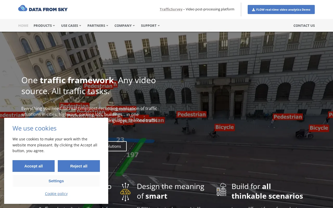
A specialized tool delivering high-precision aerial traffic analytics for urban planning.
PROS
  • High-precision object detection and trajectory tracking
  • Supports both drone and fixed camera footage
  • Detailed vehicle and pedestrian movement data
CONS
  • Limited to aerial video input
  • Freemium plan may restrict advanced features

Is DataFromSky Right for You?

A quick checklist to help you decide.

You need precise vehicle and pedestrian movement data from aerial videos for planning.
You need traffic data without aerial video input or specialized detection.
You want to optimize traffic flow and safety using high-accuracy trajectory tracking.
Free-tier limits are a blocker for accessing advanced analytics features.
Your team requires detailed analytics from drone or fixed camera footage.
You require a broad traffic analytics platform not focused on aerial footage.

Ideal for: Urban planners, traffic engineers, and public sector teams needing detailed aerial traffic data for infrastructure optimization.

Less suited for: Users without access to aerial video footage or those seeking general traffic analytics without specialized aerial data.

Bottom line: Accuracy and detail of traffic data extracted from aerial video footage.

Editorial Review AI-generated
DataFromSky excels in extracting detailed traffic data from aerial videos, making it valuable for urban planners and traffic engineers. Its precision in object detection and trajectory tracking stands out, especially for drone or fixed camera footage. However, its niche focus and reliance on aerial video input may limit broader applicability. The freemium pricing model is attractive but may restrict advanced features for some users. Overall, it suits teams needing granular traffic insights from aerial perspectives.

AI-assessed from 3 sources.

Pros & Cons

Pros

Accurate aerial object detection
Detailed trajectory tracking
Supports multiple camera types
User-friendly interface
Freemium access for basic use

Cons

Requires aerial video input major
Limited API or integration options moderate
Advanced features behind paywall minor
Workaround: Evaluate free tier before upgrading
Who Is It For & What Can It Do
AI Capabilities
Object Detection Trajectory Tracking
Key Features
Object Detection
High-precision vehicle and pedestrian detection
Trajectory Tracking
Tracks movement paths from aerial footage
Video Input Support
Supports drone and fixed camera videos
Advanced analytics
Detailed traffic flow and safety metrics
Collaboration Tools
Team features for shared projects
Best Use Cases
Urban traffic flow optimization Pedestrian movement analysis Infrastructure planning and safety Traffic engineering studies Smart city traffic management
Inputs & Outputs
Videoinput Otheroutput
Supported Languages
English
Security & Compliance
Compliance Standards
GDPR
Privacy · EU
Pricing Plans

Free

Best for individuals

Free
 
  • Basic traffic data extraction
  • Limited video processing

Team

For small teams

$30/mo
$30.00/mo billed annually
  • Collaborative features
  • Priority support

Offers a free tier with basic features and paid subscriptions for advanced analytics and higher usage limits.

Support Channels
Email
Did you find this page helpful?
Frequently Asked Questions
What is this tool?
DataFromSky analyzes aerial videos to extract detailed traffic data for urban planning.
How much does it cost?
It offers a free tier and paid subscriptions starting at $20 per month.
Does it have a free plan?
Yes, there is a free plan with limited features for basic use.
What integrations does it support?
No public integrations or APIs are currently documented.
Who is it best for?
Urban planners and traffic engineers needing aerial traffic data analysis.
User Reviews

No reviews yet. Be the first to review DataFromSky!

Write a Review
Discussion
No discussions yet. Start the conversation!
0 tools selected
Compare Now →
DataFromSky Visit Tool