CARTO Review — Geospatial Visualization
CARTO enables users to create interactive maps and perform spatial analysis using location data.
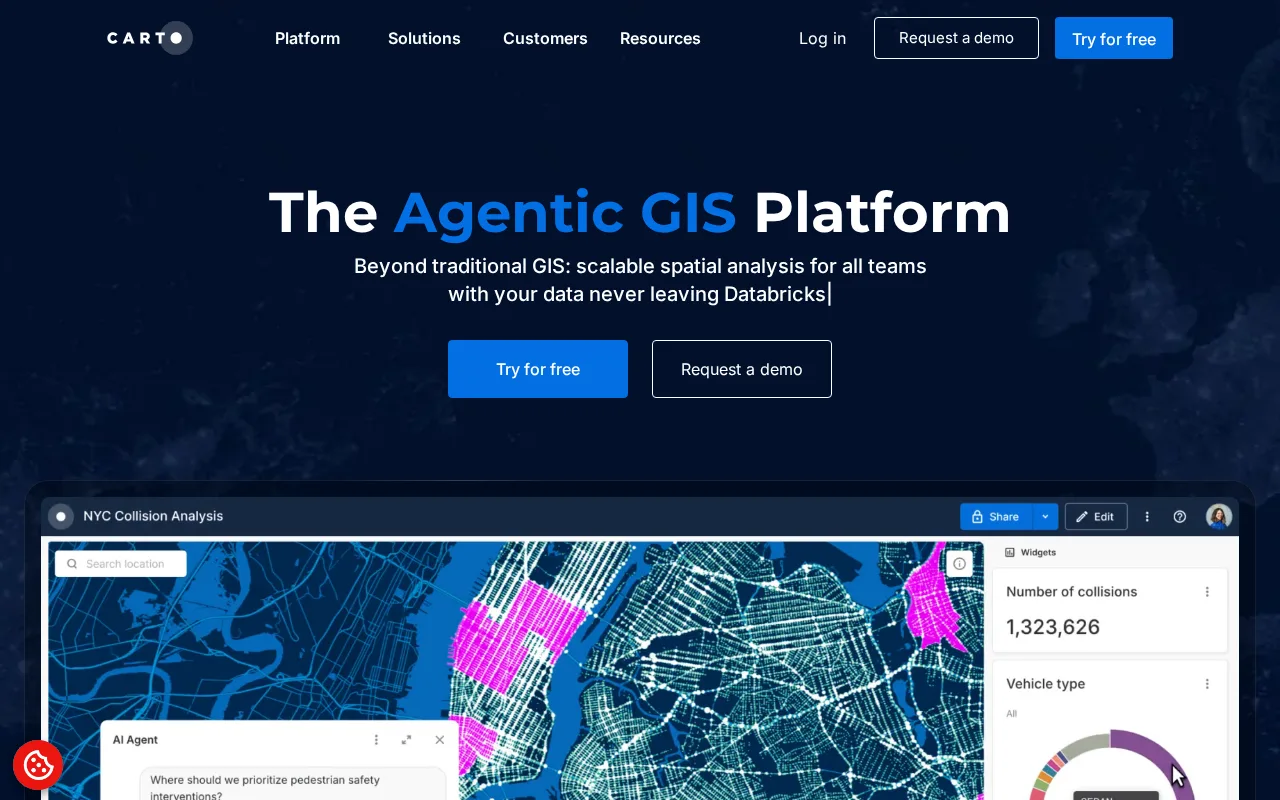
CARTO is a robust platform for spatial data visualization and analysis with strong cloud capabilities.
- Powerful cloud-native spatial analytics
- Easy creation of interactive maps
- Supports diverse geospatial data formats
- Advanced features require paid plans
- Moderate learning curve for new users
Is CARTO Right for You?
A quick checklist to help you decide.
Ideal for: Data scientists, GIS analysts, and developers who need scalable cloud-based geospatial visualization and analysis.
Less suited for: Users seeking fully free GIS software or those without any spatial data analysis needs should look elsewhere.
Bottom line: The ability to combine spatial analytics with cloud scalability and interactive mapping.
Pros
Cons
Free
Best for individuals
- Basic map creation
- Limited data storage and usage
Pro
- Advanced spatial analysis
- Increased data limits
Enterprise
For large organizations
- Custom integrations
- Dedicated support
Offers a free tier with basic features and paid subscriptions for advanced analytics and higher usage limits.
What is this tool?
How much does it cost?
Does it have a free plan?
What integrations does it support?
Who is it best for?
No reviews yet. Be the first to review CARTO!
Scores are calculated algorithmically from feature coverage, pricing, user feedback & benchmark data — not influenced by commercial relationships. How we score → · Vendor Data Policy